What City Observatory did this week
1. Our 5th Anniversary. October 17 marked 5 years since we started publishing our research and commentary at City Observatory. We reflect back on five years of work, and thank all those who made it possible, and especially you, our readers.
2. Rites of Way. A complex set of laws and customs, some legislated and enforced, but many unwritten, govern the way we use public space. For a century, we’ve progressively warped these rules to favor car movement. But there’s a lot we can do to redefine the priorities and informal rules that govern public spaces, notably urban roads. Simply erasing the center lines on urban streets, for example, effectively forces drivers to negotiate the use of space with other road users, rather than assuming they have unfettered rights on their side of a line. Experience in other countries shows that there are many possible regimes to guide how we make use of shared spaces; putting greater responsibility on individuals to look out for others, rather than commandeer the “right of way” could make the urban realm safer and more pleasant.
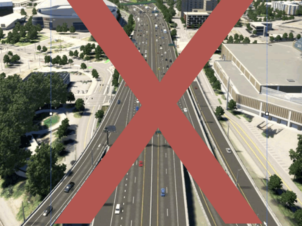
3. More capacity just creates more traffic. The engineering profession proffers the naive belief that car traffic is like a kind of incompressible liquid: If you constrain it in one place, it will flow out elsewhere. That incorrect analogy is regularly used to argue against projects that reduce car capacity. But time and again, when we reduce the road space dedicated to cars, traffic mostly goes away. That’s happened again in New York where the “Miracle on 14th Street” (eliminating through car movements has sped buses, without any impact on adjacent streets), and is likely to happen again when Seattle finally starts charging tolls on its new $3 billion deep bore tunnel under downtown. It’s time we thought of urban freeways and arterials as creating congestion, rather than relieving it.
Must read
. . . initial congestion fears appear misplaced. According to INRIX data, the 14th St busway had no discernible performance changes to neighboring roads.
“Speed cameras work. Period. They change driver behavior and cause people to slow down, protecting New Yorkers from injury and death in traffic collisions.”
The new bill “acknowledges” climate change in the same way that sending a pallet of bottled water to Flint, Michigan, “acknowledges the lead crisis.”
New Knowledge
Redlining’s fading relevance. In the 1930s, the federal government codified the existing widespread racialized attitudes about local housing markets when the federal Home Owners Loan Corporation published maps delineating desirable and undesirable neighborhoods. (While the Feds appropriately get the rap for this, its important to note that the maps were largely compiled by local real estate professionals hired under the New Deal, and reflected established local biases). The legacy of redlining cast a long shadow over those neighborhoods, and led to systematic disinvestment for decades. But today, eight decades later, are these redlined areas relevant to policy. Several presidential candidates have proposed targeting federal investment into areas redlined in the 1930s.
Brookings Institution’s Andre Perry and David Harshberger question the relevance of 1930s redlining to 2020 policy-making. They analyze the location and demographics of these redlined areas today, using the most recent available Census data. When they were drawn, redlined areas closely mirrored neighborhoods with high levels of black residents. But that’s no longer true today, as Perry and Harsberger’s analysis shows:
More generally, the redlined areas are no longer a good match with the hardest hit neighborhoods in US metro areas. Many formerly redlined areas have changed so dramatically–either been depopulated, or revitalized, and no longer hold many poor families. Conversely, areas that weren’t poor in the 1930s (think the first-tier suburbs developed in the 1940s and 1950s) hold a significant number of low income households. As a result, using old-timey redlining maps to define today’s target areas doesn’t make much sense. And there are other issues as well: American population was very differently distributed across metro areas eight decades ago; while rustbelt cities have large redlined areas, Western and Sunbelt cities have very few. While redlining was a real factor contributing to urban disinvestment then, those old maps are a poor guide to where we need to invest now.
Andre Perry and David Harshberger, America’s formerly redlined neighborhoods have changed, and so must solutions to rectify them, Brookings Institution, Metropolitan Policy Program, October 14, 2019.
In the news
Treehugger highlighted our critique of the Transportation Research Board’s report calling for even more spending on highway widening, which will lead to more driving and increased greenhouse gas emissions.


