We all know and use rules of thumb. They’re handy for simplifying otherwise difficult problems and quickly making reasonably prudent decisions. We know that we should measure twice and cut once, that a stitch in time saves nine, and that we should allow a little extra following distance when the roads are slick.
What purport to be “standards” in the worlds of transportation and land use are in many cases just elaborate rules of thumb. And while they might have made sense in some limited or original context, the cumulative effect of these rules is that we have a transportation system which is by regulation, practice, and received wisdom, “all thumbs.”

One of the problems with rules of thumb (or the more academic term, “heuristics”) is that while they may work well in many cases, they may work very poorly in others – and they may be subject to important cognitive biases that lead us to make bad decisions.
Here are five rules of thumb that have led to a distorted view of our transportation problems and their appropriate solutions.
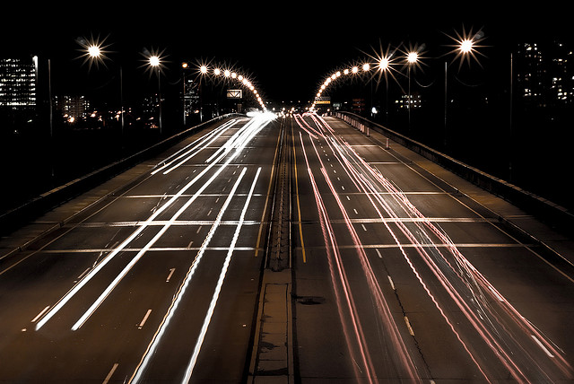
Old rule of thumb #1: We should have a high “level of service” on our streets. Around the country, traffic engineers have long assigned one of six letter grades A through F to describe traffic flow on streets. (A is free-flowing traffic, F is highly congested.) Many planning decisions emphasize the need to maintain high levels of service, which means that roads are designed to be much bigger (and more expensive) than they need to be most of the time. And level of service only measures car travel time on a particular road, ignoring non-car travelers, and – importantly – the effect of more roads on sprawl and overall trip lengths. These flaws have lead California to eliminate level of service as a factor in environmental analyses of traffic impacts.
Old rule of thumb #2: Wider streets are safer streets. It’s long been an engineering axiom that wider roads are safer, because they give cars and others more space to avoid collisions. But the behavioral effects of wider roads overwhelm the supposed safety advantages. Wider lanes encourage vehicles to drive faster, and higher speeds produce deadlier consequences—especially for cyclists and pedestrians. New research shows that the optimal lane width for minimizing crashes and injuries is something like 10 or 11 feet, not the 12-14 feet of many travel lanes in streets around the country.

Old rule of thumb #3: We should require “enough” off-street parking for every use. As Donald Shoup has shown, parking requirements spelled out in zoning codes—often based on formidably inaccurate estimates prepared by the ITE (Institute of Traffic Engineers) lead to a situation where every business’s parking lot is sized for the peak hour of the peak day of the year (holiday shopping season at the Mall, example). Not only does this produce more parking than is needed the rest of the year, it turns out that parking “requirements” grossly overstate demand even in peak periods, and especially for urban uses where more people arrive by other means, and park for shorter periods of time. As Smart Growth America’s report “Empty Spaces shows, when developments have density, transit access and mixed uses, spaces mandated by parking requirements simply sit unused.. The product of this rule of thumb is that parking is over-supplied, destinations are further apart than they would otherwise be, and walking, transit and cycling are non –functional.
Old rule of thumb #4: We should plan for a certain number of car trips to be generated by every land use, no matter where it is. Another rule of thumb for planning is that every land use “creates” or generates a certain number of trips. But it isn’t necessarily so: the studies used to make these esimates are drawn from large-scale suburban development where proportionately more trips are by auto. A careful analysis of the data shows that trip generation estimates for most uses are overstated by a factor of 2, leading local governments to require even more transportation capacity than is needed—driving up development costs, and inducing additional travel.
Old rule of thumb #5: We should have a hierarchy of streets. The street hierarchy makes an explicit analogy to the human circulatory system. Just as we have an increasingly fine array of arteries, veins and capillaries, so too does the transportation system have freeways, arterials, collectors and local streets. And we’ve abandoned the traditional street grid for a dendritic pattern. It turns out that these hierarchical street systems are less resilient to disruption and have less capacity than the old-fashioned grids they replace, and are especially hostile to non-automotive modes of travel (pedestrians and bikes are forced to take circuitous routes and are hard to accommodate at the intersections of major arterials that have limited “green” time to accommodate cross=traffic and turning movements. The hierarchal system of “arterials, collectors, and local roads that we’ve adopted in place of the traditional street grid has had the effect of making the average trip between any two points longer. Over the past two decades the “circuity” of trips has increased by 3.7 percent in the nation’s 50 largest metropolitan areas. This increase is on top of the increase in trip distance due to sprawl and decentralization.
Our “all thumbs” approach to transportation planning leads to a specific pattern of development that is as inefficient for cars as it is hostile for persons traveling on foot, via bicycle and on transit.
What is needed are a new set of rules of thumb. Like all heuristics, this isn’t meant to be taken as a final set of “standards” to fit every situation – but there are some emerging ideas about what we might emphasize.
New rule of thumb #1: Closer is better. Having more different destinations close at hand facilitates a wide range of mode choices, especially walking and cycling. Mixing uses, which is often anathema under traditional zoning codes turns out to be desirable for consumers and expeditious for transportation.
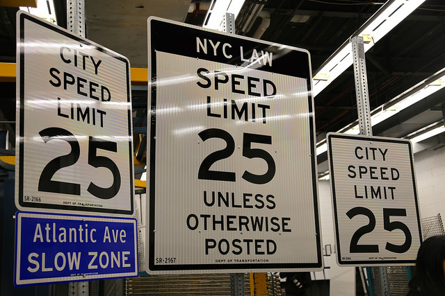
New rule of thumb #2: Slower is safer. When cars and people on foot and on bikes interact, safety comes from slow speeds even more than separation. Local streets that move traffic slowly are friendlier—and safer—for non-auto modes of transportation.

New rule of thumb #3: Sharing is efficient. Rather than require every use to provide parking for the peak hour of the year, arranging uses so people can park once, and walk mostly leads to less traffic, greater safety and more congenial, fine-grained development patterns.
New rule of thumb #4: Our objective should be accessibility, not mobility. Many transportation heuristics emphasize speed: how do we make things move faster. But what we really care about is getting to (or being at) our destinations, not rapidly traveling among them. There’s great new work being done on how to measure accessibility, and use it as a guide to policy. Speed should be secondary to choice.
Of course, these new “rules of thumb” are just a beginning. There’s a lot of work to be done to un-learn and re-think the unfortunate heuristics we’ve employed in thinking about transportation planning and land use. But as these examples illustrate, re-thinking these issues isn’t a purely technical matter: it depends critically on re-imagining the way we visualize and tell stories about how our transportation system works.
